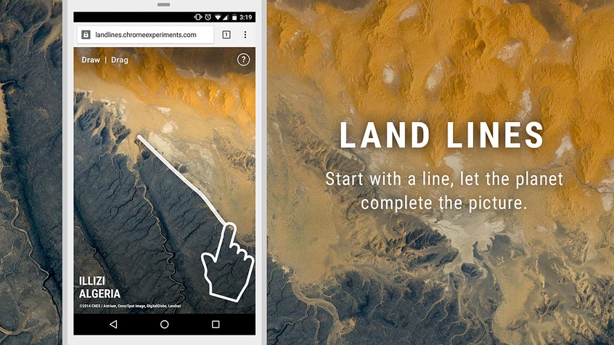
The way that Google shows the change of the earth for over past 32 years has bring a shock into the world. This time, Google has collaborated with an artist Zach Lieberman for a new project named Land Lines that connect any part of the world by drawing a line. You can now litterary make your own map (or planet) by drawing a line on different continent (link below).

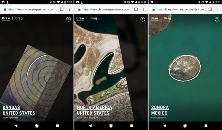
The Land Lines recognize visual input and match it with patterns when you doddle on your web browser. Its end product is a satellite image that could be anything such as a road junction, riverbed or a mountain. This is achieved by data obtained from vantage point threes and deep learning and can be performed without the need of advanced software and computer.
Although Google experiments doesn’t serve any practical purpose, why not enjoy it as an art? Play Google Land Lines here or watch the demo here.
Source : 驱动之家
d